by Xavier Bailleau | May 24, 2018 | Model & Remote Sensing
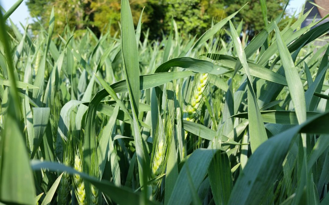
Les blés en Eure et Loir sont maintenant à l’épiaison voire la pleine floraison pour les variétés précoces, la totalité des apports d’azote doit être effectuée maintenant afin d’obtenir une combinaison rendement/Teneur en protéines optimale. En...
by Xavier Bailleau | Feb 24, 2018 | Model & Remote Sensing
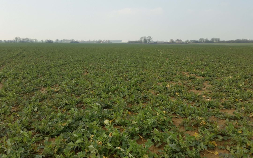
A the end of the winter, rapeseed fresh biomass is a good uptake nitrogen indicator, thanks to nitrogen balance sheet method, one can calculate the required nitrogen amount. Knowing accurately biomass in the field allow produce nitrogen requirements function of...
by Xavier Bailleau | Feb 21, 2018 | Model & Remote Sensing
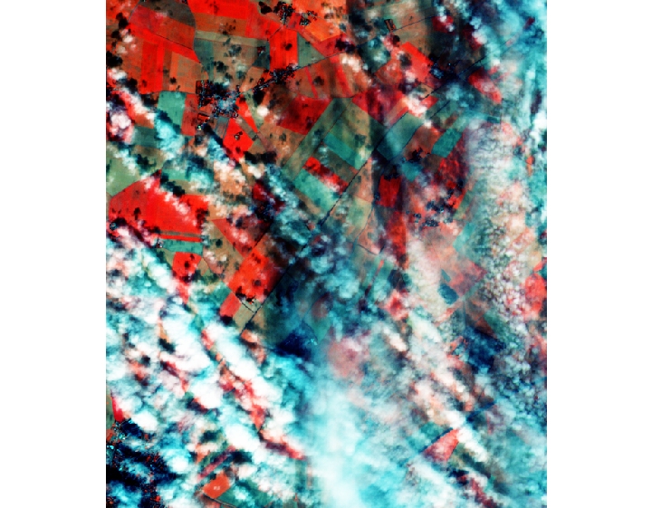
Sentinel 2 images often contain some clouds, with mathematical processing it is possible to correct cirrus effect, but it is impossible to see through thick clouds. The objective is to detect them to avoid inaccurate results. Logically one should be able to detect the...
by Xavier Bailleau | Jan 9, 2018 | Model & Remote Sensing
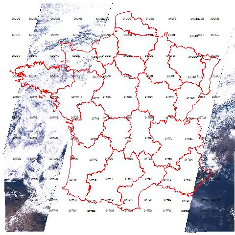
The satellite images user is mainly interested about cloud cover because it is one the major problem to deal with. I wrote a very small and simple program to analyse all the images from Sentinel 2A over France during 2016. It took around 15 hours to check all the...
by Xavier Bailleau | Jan 5, 2018 | Model & Remote Sensing
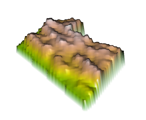
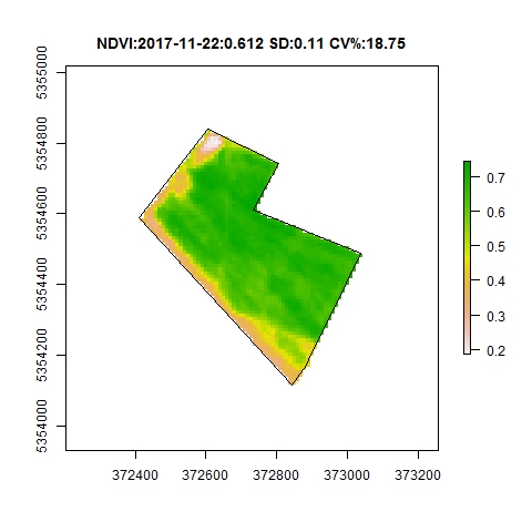
Most of the time, vegetation intra field variability is due to soil heterogeneity, in some cases, it can be due to different agricultural practices or tillage time. This is the case in that rapeseed field, sown on two different dates, as explained in a previous post....
by Xavier Bailleau | Jan 4, 2018 | Model & Remote Sensing
Vegetation indices are formulas to transform remote sensing wavelength bands to enhance vegetation properties (Leaf area index, biomass, chlorophyll content, water content). The advantage of these indices is that they are very easy to use and very low computer time...