• LinkedIn
  • Twitter
  • Youtube
  • Facebook
SatFarming
  • Home
  • How it Works
  • About us
  • Blog
  • Contact
  • Sign In
Select Page
OILSEEDRAPE AERIAL BIOMASS: A GOOD INDICATOR ABOUT NITROGEN UPTAKE

OILSEEDRAPE AERIAL BIOMASS: A GOOD INDICATOR ABOUT NITROGEN UPTAKE

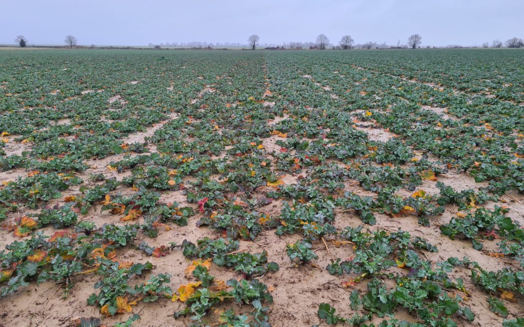
by Xavier Bailleau | Dec 29, 2021 | Model & Remote Sensing

This post will focus on estimation of oilseedrape aerial biomass and its evolution in the begining of the 2021 winter. The purpose is to highlight the begining of nitrogen lack in the fields by observing a stabilisation or slow decreasing of biomass. A panel of 620...
Sentinel et la modulation du raccourcisseur des blés

Sentinel et la modulation du raccourcisseur des blés

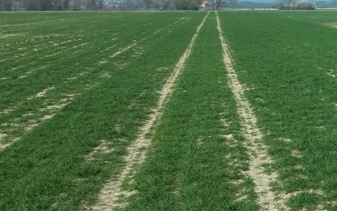
by Xavier Bailleau | Apr 2, 2019 | Model & Remote Sensing, Non classé

La campagne 2018-2019 aura été marquée par des conditions de semis délicates, dans une terre très sèche occasionnant des retards de levée et une grande hétérogénéité des plantes. Le graphe ci dessus montre la simulation de la parcelle (Boregar semé le 10 Octobre) les...
Rapeseed fresh aerial biomass estimation

Rapeseed fresh aerial biomass estimation

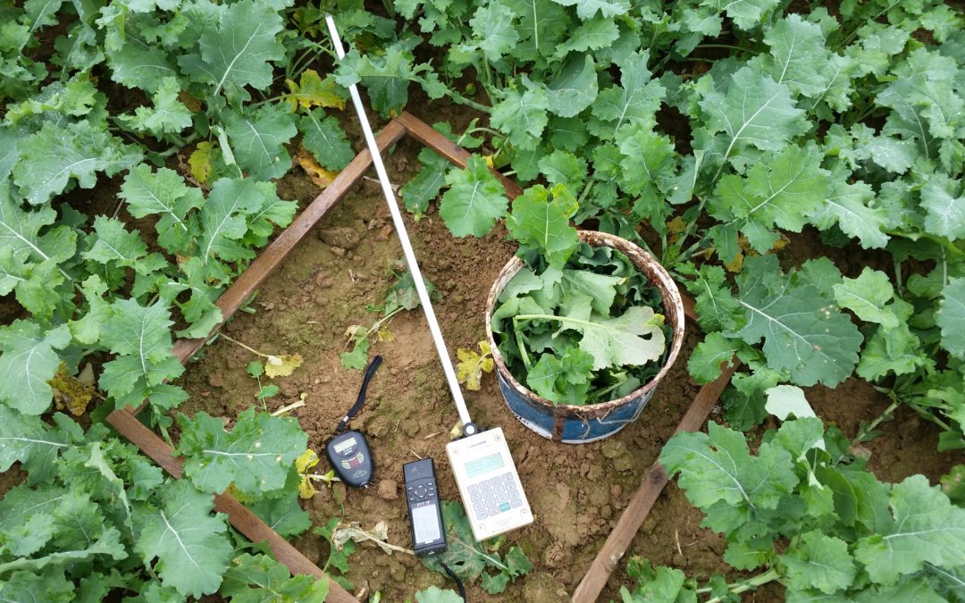
by Xavier Bailleau | Dec 20, 2017 | Model & Remote Sensing

Material: Sentinel 2A image: 2017/12/12 Method: Compare Image IT YARA and manual weighting rapeseed biomass Objective: Demonstrate that both technologies are complementary On 2017/12/12 Sentinel 2A produced a clear image above France. It was the occasion to compare...

Categories

  • Commodities financial analysis
  • In The Field
  • Model & Remote Sensing
  • Non classé
  • Science

Tags

#rapeseed #nitrogen #fertilization #precision agriculture #modulation map #remote sensing #fertilization #usda #wasde #repport #usda #wasde #repport #corn #usda report #wheat #frost #snow #cold resistance #wheat #growth stage azote biomass blé cloudmask clouds color composite image digital photo Heatwave leaf area index math#matrix#neural network#remote sensing ndvi nitrogen fertilisation oilseedrape Radiometry rapeseed raster statistical analysis remote sensing sentinel sentinel 2 spatial analysis vegetation indices Wheat

COMPANY

  • SatFarming Model
  • About us
  • Blog
  • Contact

FOLLOW US

  • LinkedIn
  • Twitter
  • Youtube
  • Facebook
© SatFarming 2017
  • Site Map
  • Privacy Policy
  • Terms of Use