by Xavier Bailleau | Apr 19, 2023 | Model & Remote Sensing, Non classé
INTRODUCTION L’utilisation des satellites d’observation de la terre pour analyser les cultures sur un territoire est devenue quotidienne pour les agriculteurs et les agronomes. Pour les agriculteurs afin de gérer leurs cultures au mieux en pilotant la...
by Xavier Bailleau | Jan 7, 2022 | Model & Remote Sensing, Non classé
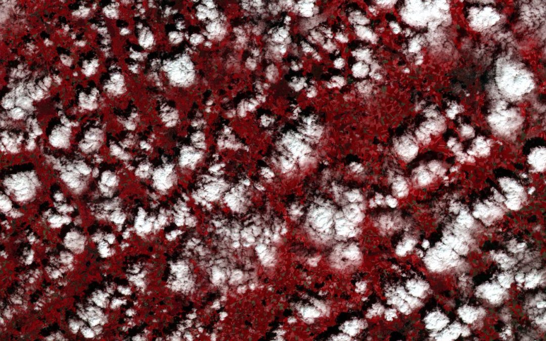
Sentinel 2 de l’ESA est sujet aux nuages lors de la production d’images, il est important de générer un masque de nuages afin d’éviter les erreurs de calculs lors des traitements. Cet article est écrit pour mettre en évidence les quelques défauts de...
by Xavier Bailleau | Jan 7, 2022 | Model & Remote Sensing, Non classé
Sentinel 2 from ESA satellite is sensitive to clouds when producing images. It is important to generate a cloud mask layer to avoid bad calculations during image processings. This post is written to highlight the some delaults of cloud mask algorithm from ESA...
by Xavier Bailleau | Dec 29, 2021 | Model & Remote Sensing
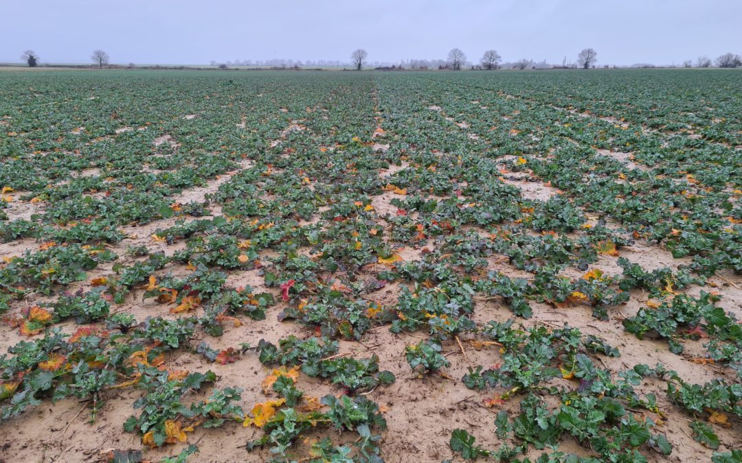
This post will focus on estimation of oilseedrape aerial biomass and its evolution in the begining of the 2021 winter. The purpose is to highlight the begining of nitrogen lack in the fields by observing a stabilisation or slow decreasing of biomass. A panel of 620...
by Xavier Bailleau | Dec 29, 2021 | Model & Remote Sensing
Locations of the fields in Eure et Loir (28) Figure 3:NDVI from sowing to end of december Study was conducted on a panel of 628 fields (7099 ha, around 7% of total oilseedrape area in Eure et Loir), all Sentinel 2 images are stored and analysed by a R program on a 24...
by Xavier Bailleau | Dec 27, 2021 | Model & Remote Sensing, Non classé
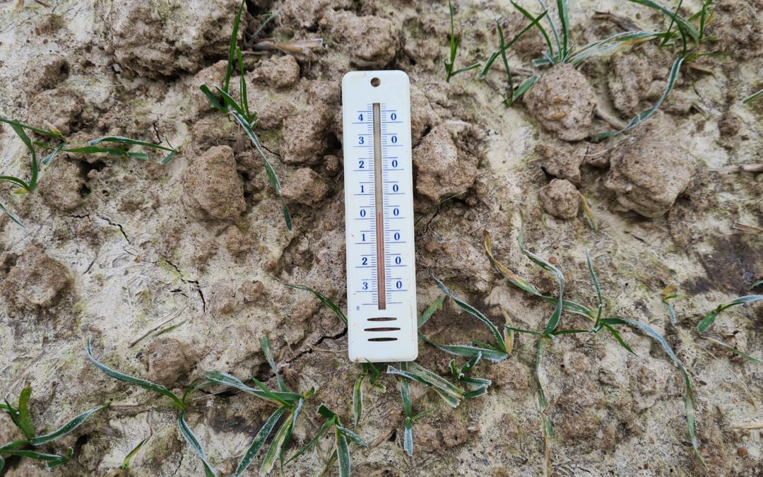
INTRODUCTION Weather data are the most important component in crop growth and development, usually in crop modelling we use daily weather data from weather stations records. Two kinds of weather stations are available: One from national institutes like Meteo France...